Charlottetown is the capital city of the province of Prince Edward Island in Canada. It stands on the southern coast of the island and is the largest city in the province. Charlottetown is known for its historic charm, as it played a significant role in the formation of Canada. It was here that the Charlottetown Conference of 1864 took place, which laid the groundwork for the Confederation of Canada. As a result, Charlottetown is often referred to as the Birthplace of Confederation. The population of Charlottetown exceeds 42 thousand people. This map shows the detailed scheme of Charlottetown streets, including major sites and natural objecsts.
Zoom in or out, move the map's center by dragging your mouse or click the plus/minus buttons to zoom.
Also check out the population, street view and a satellite map of Charlottetown.
The exact coordinates of Charlottetown, Canada for your GPS track:
Latitude 46.238834 North, Longitude 63.128063 West.
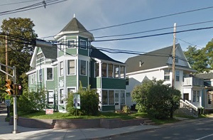
An image of Charlottetown, Canada:
Check out some more city maps in Canada:
Full list of Canada maps
This online map of Charlottetown (Canada) is provided by Bing Maps.
Please add a bookmark and share the page with your friends!