Johnson County on the map of Arkansas 2026. Cities, roads, borders and directions in Johnson County of Arkansas.
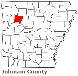
USA / Arkansas / Johnson CountyJohnson County is found in the northwestern region of Arkansas. This fantastic county is named after Benjamin Johnson (1784-1849), the first judge of the federal district court for Arkansas. The population of Johnson County exceeds 26 thousand people. The county, formed on November 16, 1833, spans an area of 683 square miles. The county seat of Johnson County is Clarksville. This map shows the borders of Johnson County as well as neighboring counties, including major highways and natural objecsts as of 2026. Zoom in or out of the map using the plus/minus panel. Move the center of this map by dragging it. Also check out the satellite map of Johnson County.
The borders of Johnson County over the map of Arkansas
Explore some more counties of Arkansas:
- Yell County
- Woodruff County
- White County
- Washington County
- Van Buren County
- Union County
- Stone County
- Sharp County
- Sevier County
- Sebastian County
- Searcy County
- Scott County
- Saline County
- St. Francis County
- Randolph County
- Pulaski County
- Prairie County
- Pope County
- Polk County
- Poinsett County
Full list of Arkansas maps
This online map of Johnson County, Arkansas is provided by Bing Maps. Please add a bookmark and share the page with your friends!
© 2026 City maps and famous places