The exact coordinates of Hockessin Delaware for your GPS track:
Latitude 39.787811 North, Longitude 75.696899 West.
ZIP codes for Hockessin:
19707
Please share the link with friends and neighbors:
Share on Facebook
Share on WhatsApp
Share on Telegram
Share on Facebook
Share on WhatsApp
Share on Telegram
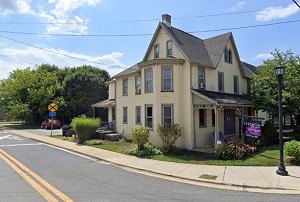
An image of Hockessin
More city maps of Delaware:
- Map of Seaford
Seaford is a city located in Sussex County, Delaware. It stands in the southern part of the state ... - Map of Pike Creek
Pike Creek is a CDP located in New Castle County of northern Delaware, near the city of Wilmington...
This online map of Hockessin, Delaware is provided by Bing Maps. Please add a bookmark and share the page with your friends!