The exact coordinates of Milford Delaware for your GPS track:
Latitude 38.912746 North, Longitude 75.42849 West.
ZIP codes for Milford:
19963
Please share the link with friends and neighbors:
Share on Facebook
Share on WhatsApp
Share on Telegram
Share on Facebook
Share on WhatsApp
Share on Telegram
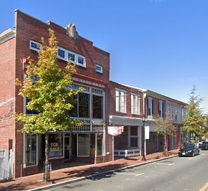
An image of Milford
More city maps of Delaware:
- Map of Middletown
Middletown is the 4th largest municipality in Delaware with 22 thousand residents. This beautiful ... - Map of Glasgow
Glasgow, Delaware is a CDP located in New Castle County of northern Delaware, about 10 miles south... - Map of Georgetown
Georgetown, Delaware is the county seat of Sussex County, the southernmost county in Delaware. The... - Map of New Castle
New Castle, Delaware is the county seat of New Castle County. New Castle was originally settled by...
This online map of Milford, Delaware is provided by Bing Maps. Please add a bookmark and share the page with your friends!