The exact coordinates of Smyrna Delaware for your GPS track:
Latitude 39.299915 North, Longitude 75.605042 West.
ZIP codes for Smyrna:
19977
Please share the link with friends and neighbors:
Share on Facebook
Share on WhatsApp
Share on Telegram
Share on Facebook
Share on WhatsApp
Share on Telegram
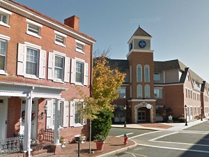
An image of Smyrna
More city maps of Delaware:
- Map of Wilmington Manor
Wilmington Manor, Delaware is a CDP located in New Castle County. It's a part of the Wilmington Me... - Map of Edgemoor
Edgemoor, Delaware is a CDP located in New Castle County, by the Delaware River. Edgemoor is a par...
This online map of Smyrna, Delaware is provided by Bing Maps. Please add a bookmark and share the page with your friends!