The exact coordinates of Lawrenceburg Indiana for your GPS track:
Latitude 39.093754 North, Longitude 84.849075 West.
ZIP codes for Lawrenceburg:
47025
Please share the link with friends and neighbors:
Share on Facebook
Share on WhatsApp
Share on Telegram
Share on Facebook
Share on WhatsApp
Share on Telegram
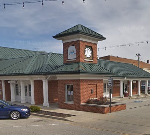
An image of Lawrenceburg
More city maps of Indiana:
- Map of Bloomington
Bloomington is a city in southern Indiana with a population of some 80 thousand people. Bloomingto... - Map of Indianapolis
Indianapolis is the capital and largest city of the state of Indiana.... - Map of Muncie
Muncie, Indiana is a city in Delaware County with 65 thousand residents. Incorporated in 1865 as a... - Map of Terre Haute
Terre Haute, Indiana is the county seat of Vigo County. Terre Haute is populated these days by 59 ... - Map of Columbus
Columbus, Indiana is the county seat of Bartholomew County. The approximate population of Columbus... - Map of New Albany
New Albany, Indiana is a nice suburban city of Louisville, KY, located in Floyd County. New Alban... - Map of Valparaiso
The city of Valparaiso, Indiana is the county seat of Porter County. Incorporated on July 8, 1836,... - Map of Hobart
Hobart is a city in Lake County, Indiana. It's located in the southern part of Chicago metro area.... - Map of Munster
Munster is a town in North Township, Lake County, Indiana. It is located in the Chicago metropolit... - Map of St. John
St. John is a lovely town located in Lake County, Indiana. It is a suburb of Chicago and is known ... - Map of New Castle
New Castle, Indiana is a city located in Henry County. The city has a population of 17 thousand pe... - Map of Crawfordsville
Crawfordsville is a city located in Montgomery County of Indiana. The city has over 16 thousand re... - Map of Warsaw
Warsaw, Indiana is a lovely city located in Kosciusko County. The city has 16 thousand residents a... - Map of Speedway
Speedway, Indiana is a town located in Marion County, just northwest of Indianapolis. The town is ... - Map of Washington
Washington, Indiana is the county seat of Daviess County, standing along the East Fork of the Whit... - Map of Lowell
Lowell, Indiana is a town located in Lake County, about 45 miles southeast of Chicago, Illinois. L... - Map of Bargersville
Bargersville is a town located in White River Township, Johnson County, Indiana. It stands in cent...
This online map of Lawrenceburg, Indiana is provided by Bing Maps. Please add a bookmark and share the page with your friends!