The exact coordinates of Larose Louisiana for your GPS track:
Latitude 29.572079 North, Longitude 90.381996 West.
ZIP codes for Larose:
70373
Please share the link with friends and neighbors:
Share on Facebook
Share on WhatsApp
Share on Telegram
Share on Facebook
Share on WhatsApp
Share on Telegram
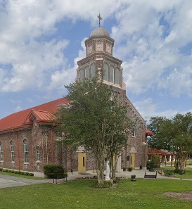
An image of Larose
More city maps of Louisiana:
- Map of Monroe
Monroe is a city in northern Louisiana with a population of over 48 thousand people. It stands on ... - Map of Bossier City
Bossier City, Louisiana is a large eastern suburb of Shreveport with 68 thousand inhabitants. It w... - Map of Central
Central, Louisiana is a shining city located in East Baton Rouge Parish. Incorporated in April 200... - Map of Chalmette
Chalmette, Louisiana is a nice CDP, a suburb of New Orleans and the seat of St. Bernard Parish. To... - Map of Bayou Cane
Bayou Cane, Louisiana is a wonderful CDP standing near Houma, in Terrebonne Parish. The population... - Map of Opelousas
Opelousas is the parish seat of St. Landry Parish. It stands 60 miles west of Baton Rouge. Opelous... - Map of River Ridge
River Ridge is a suburban community located in Jefferson Parish, Louisiana. It stands just west of... - Map of Gonzales
Gonzales, Louisiana is a charming city in Ascension Parish. It is nicknamed the Jambalaya Capital ... - Map of Woodmere
Woodmere, Louisiana is a CDP in Jefferson Parish. It stands near the city of Harvey, part the Grea... - Map of Raceland
Raceland is a community located in Lafourche Parish in southeastern Louisiana. It is known for its... - Map of Belle Chasse
Belle Chasse is a suburban community located in Plaquemines Parish of southeastern Louisiana. It s... - Map of Fort Polk South
Fort Polk South is a census-designated place located near Fort Polk, an active military installati... - Map of Harahan
Harahan, Louisiana is a shining city situated in Jefferson Parish. It stands on the east bank of t... - Map of Westwego
Westwego is a city in Jefferson Parish, Louisiana. It stands on the west bank of the Mississippi R... - Map of Bridge City
Bridge City, Louisiana is a CDP located in Jefferson Parish. It stands on the west bank of the Mis... - Map of Meraux
Meraux is a CDP located in St. Bernard Parish, Louisiana. It's a part of New Orleans metro area. M... - Map of Ville Platte
Ville Platte, Louisiana is the parish seat of Evangeline Parish. It stands in the central part of ...
This online map of Larose, Louisiana is provided by Bing Maps. Please add a bookmark and share the page with your friends!