The exact coordinates of Hanover New Hampshire for your GPS track:
Latitude 43.702366 North, Longitude 72.290642 West.
ZIP codes for Hanover:
03755
Please share the link with friends and neighbors:
Share on Facebook
Share on WhatsApp
Share on Telegram
Share on Facebook
Share on WhatsApp
Share on Telegram
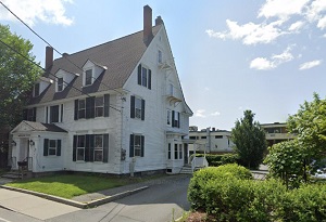
An image of Hanover
More city maps of New Hampshire:
- Map of Derry
Derry, New Hampshire is a nice town located in Rockingham County, about 41 miles north of Boston. ... - Map of Bedford
Bedford, New Hampshire is a lovely town located in Hillsborough County. Incorporated in 1750, Bedf... - Map of Milford
Milford is a town located in Hillsborough County, southern New Hampshire. Today Milford is home to... - Map of Lebanon
Lebanon is a shining city located in Grafton County, in the western part of New Hampshire. Today L...
This online map of Hanover, New Hampshire is provided by Bing Maps. Please add a bookmark and share the page with your friends!