The exact coordinates of Pelham New Hampshire for your GPS track:
Latitude 42.735268 North, Longitude 71.323166 West.
ZIP codes for Pelham:
03076
Please share the link with friends and neighbors:
Share on Facebook
Share on WhatsApp
Share on Telegram
Share on Facebook
Share on WhatsApp
Share on Telegram
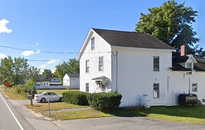
An image of Pelham
More city maps of New Hampshire:
- Map of Dover
Dover, New Hampshire is a stylish city standing 70 miles north of Boston, MA, in Strafford County.... - Map of Keene
Keene, New Hampshire is a charming city and the seat of Cheshire County. The population of Keene e... - Map of Exeter
Exeter, New Hampshire is a charming town in Rockingham County. The population of Exeter exceeds 16... - Map of Raymond
Raymond, New Hampshire is an adorable town located in Rockingham County. Today Raymond is populate...
This online map of Pelham, New Hampshire is provided by Bing Maps. Please add a bookmark and share the page with your friends!