The exact coordinates of Raymond New Hampshire for your GPS track:
Latitude 43.03632 North, Longitude 71.183266 West.
ZIP codes for Raymond:
03077
Please share the link with friends and neighbors:
Share on Facebook
Share on WhatsApp
Share on Telegram
Share on Facebook
Share on WhatsApp
Share on Telegram
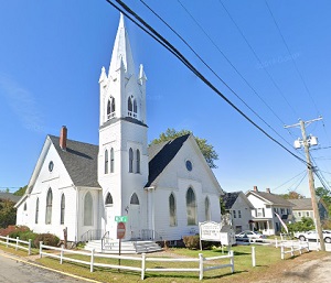
An image of Raymond
More city maps of New Hampshire:
- Map of Dover
Dover, New Hampshire is a stylish city standing 70 miles north of Boston, MA, in Strafford County.... - Map of Keene
Keene, New Hampshire is a charming city and the seat of Cheshire County. The population of Keene e... - Map of Exeter
Exeter, New Hampshire is a charming town in Rockingham County. The population of Exeter exceeds 16... - Map of Pelham
Pelham is a beautiful town located in Hillsborough County, southern New Hampshire. Today Pelham is...
This online map of Raymond, New Hampshire is provided by Bing Maps. Please add a bookmark and share the page with your friends!