The exact coordinates of Las Vegas New Mexico for your GPS track:
Latitude 35.596752 North, Longitude 105.220421 West.
ZIP codes for Las Vegas:
87701
Please share the link with friends and neighbors:
Share on Facebook
Share on WhatsApp
Share on Telegram
Share on Facebook
Share on WhatsApp
Share on Telegram
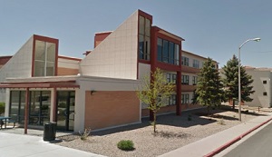
An image of Las Vegas
More city maps of New Mexico:
- Map of Santa Fe
Santa Fe is the 4-th largest city and the State Capital of New Mexico. It is located about 70 mile... - Map of Roswell
Roswell, New Mexico is a famous city located in Chaves County. It is the site of an alleged 1947 U... - Map of Carlsbad
Carlsbad, New Mexico is a beautiful city and the county seat of Eddy County. Today Carlsbad is pop... - Map of Los Lunas
Los Lunas, New Mexico is a village located in Valencia County. Today Los Lunas is home to 17 thous... - Map of Española
Española, New Mexico is a wonderful city located in Rio Arriba County. The population of Español...
This online map of Las Vegas, New Mexico is provided by Bing Maps. Please add a bookmark and share the page with your friends!