The exact coordinates of Spanish Springs Nevada for your GPS track:
Latitude 39.653069 North, Longitude 119.709648 West.
Share on Facebook
Share on WhatsApp
Share on Telegram
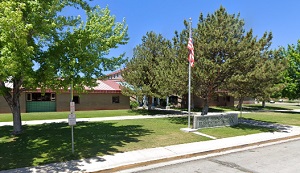
An image of Spanish Springs

More city maps of Nevada:
- Map of Las Vegas
Las Vegas, Nevada is one of the most amazing and famous cities in the US. Las Vegas is a city know... - Map of Paradise
Paradise is a town adjacent to Las Vegas. The population of Paradise counts 235 thousand people. T... - Map of Spring Valley
Spring Valley is a CDP (unincorporated town) on the southwestern outskirts of Las Vegas with 207 t... - Map of Pahrump
Pahrump, Nevada is a town located in the southern part of Nye County, about 63 miles west of Las V... - Map of Elko
Elko, Nevada (incorporated in 1917) is a charming city serving as county seat of Elko County. The ... - Map of Cold Springs
Cold Springs is a small unincorporated community located in Washoe County, Nevada. Today Cold Spri...
This online map of Spanish Springs, Nevada is provided by Bing Maps. Please add a bookmark and share the page with your friends!
