Kendall County on the map of Texas 2026. Cities, roads, borders and directions in Kendall County of Texas.
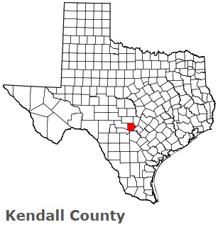
USA / Texas / Kendall CountyKendall County is located in the central part of Texas. This wonderful county is named after George Wilkins Kendall, an early journalist and sheep rancher. The county seat of Kendall County is Boerne. The county's area is estimated at 662 square miles. Founded in 1862, today Kendall County is home to 47 thousand residents. This map shows the borders of Kendall County as well as neighboring counties, including major highways and natural objecsts as of 2026. Zoom in or out of the map using the plus/minus panel. Move the center of this map by dragging it. Also check out the satellite map of Kendall County.
The borders of Kendall County over the map of Texas
Explore some more counties of Texas:
- Zavala County
- Zapata County
- Young County
- Yoakum County
- Wood County
- Wise County
- Winkler County
- Wilson County
- Williamson County
- Willacy County
- Wilbarger County
- Wichita County
- Wheeler County
- Wharton County
- Webb County
- Washington County
- Ward County
- Waller County
- Walker County
- Victoria County
Full list of Texas maps
This online map of Kendall County, Texas is provided by Bing Maps. Please add a bookmark and share the page with your friends!
© 2026 City maps and famous places