The exact coordinates of Gorham Maine for your GPS track:
Latitude 43.679737 North, Longitude 70.442924 West.
Please share the link with friends and neighbors:
Share on Facebook
Share on WhatsApp
Share on Telegram
Share on Facebook
Share on WhatsApp
Share on Telegram
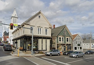
An image of Gorham
More city maps of Maine:
- Map of South Portland
South Portland, Maine is a shining suburban city located in Cumberland County. Incorporated in 189... - Map of Brunswick
Brunswick, Maine is a hilarious town situated in Cumberland County. Incorporated back in 1739, tod... - Map of Kennebunk
Kennebunk, Maine is a wonderful town located in York County. It stands on the northeastern coast o... - Map of Lisbon
Lisbon, Maine is a beautiful town located in Androscoggin County. It nests along the Androscoggin ... - Map of Yarmouth
Yarmouth, Maine is a nice town located in Cumberland County, along the northern edge of Casco Bay... - Map of Ellsworth
The city of Ellsworth, Maine is the county seat of Hancock County. It stands along the Union River...
Full list of Maine maps
This online map of Gorham, Maine is provided by Bing Maps. Please add a bookmark and share the page with your friends!