Emery County on the map of Utah 2026. Cities, roads, borders and directions in Emery County of Utah.
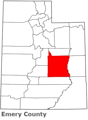
USA / Utah / Emery CountyEmery County is found in the central area of Utah. This joyful county is named after George W. Emery (1830-1909), Governor of the Utah Territory in 1875-1880. The population of Emery County exceeds 10 thousand people. The county, formed on February 12, 1880, spans an area of 4462 square miles. The county seat of Emery County is Castle Dale. This map shows the borders of Emery County as well as neighboring counties, including major highways and natural objecsts as of 2026. Zoom in or out of the map using the plus/minus panel. Move the center of this map by dragging it. Also check out the satellite map of Emery County.
The borders of Emery County over the map of Utah
Explore some more counties of Utah:
- Weber County
- Wayne County
- Washington County
- Wasatch County
- Utah County
- Uintah County
- Tooele County
- Summit County
- Sevier County
- Sanpete County
- San Juan County
- Rich County
- Piute County
- Morgan County
- Millard County
- Kane County
- Juab County
- Iron County
- Grand County
- Garfield County
Full list of Utah maps
This online map of Emery County, Utah is provided by Bing Maps. Please add a bookmark and share the page with your friends!
© 2026 City maps and famous places