Please share the link with friends and neighbors:
Share on Facebook
Share on WhatsApp
Share on Telegram
Share on Facebook
Share on WhatsApp
Share on Telegram
Phoenix Sky Harbor Airport is listed in:
Cool facts and FAQ about Phoenix Sky Harbor Airport:
What’s the best way to get around Phoenix Sky Harbor Airport?How does parking work at Sky Harbor and should I book ahead?
What should I know about drop-off and pick-up at Phoenix Sky Harbor Airport?
Are there services for passengers with disabilities or special needs in Phoenix Sky Harbor?
Can I use Wi-Fi and what other amenities are there in Phoenix Sky Harbor?
How early should I arrive before my flight from Phoenix Sky Harbor?
What transportation options are there besides driving at Phoenix Sky Harbor?
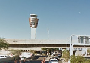
Image of Phoenix Sky Harbor Airport:
Check out some more famous and interesting places on our planet:
- Toronto Pearson Airport
- Richmond International Airport
- Memphis International Airport
- Charleston International Airport
- Buffalo Niagara International Airport
- Omaha Eppley Airfield
- Albuquerque International Sunport
- Anchorage International Airport
- Ontario International Airport
- Hollywood Burbank Airport
- Bradley International Airport
- General Mitchell International Airport
- Palm Beach International Airport
- Jacksonville International Airport
- Kahului Airport
- John Glenn Columbus International Airport
- Cincinnati/Northern Kentucky International Airport
- Luis Munoz Marin International Airport
- Pittsburgh International Airport
- Indianapolis International Airport
This online map of Phoenix Sky Harbor Airport is provided by OpenStreetMap.
Please add a bookmark and share the page with your friends!